May the 4th be with you!
My holidays have all changed. This year I was celebrating Star War’s Day.
Today I did a cross country focusing on pilotage and dead reckoning. According to AOPA: “Pilotage is defined in the FAA’s Pilot’s Handbook of Aeronautical Knowledge as navigation by reference to landmarks or checkpoints (except over water) that often is used in conjunction with dead (from ded, meaning deduced) reckoning. So what’s dead reckoning? In the navigation chapter you’ll find that dead reckoning is navigation solely by means of computations based on time, airspeed, distance, and direction. The key word is computations. It’s one of the things you learn in ground school.”
This is the part of my training that takes planning ahead. In a car, you put in the gas and just go. I’m finding everything about flying makes me think things through more precisely. Today we went to Martinsville. But, the night before we left, I had to get out my sectional map and plot the course. After you plot your course, you look more closely at the map and pick out points about 10 miles apart that you could recognize from the sky. Things like roads, rivers, that you can use to make sure you’re on course. You record this information on a cross-country navigation log (NavLog) and FAA flight plan form (VFR/IFR). It streamlines all the information you need, things like providing the details of your trip location, the mileage and time between each point you’ve chosen until you get to your destination (you use a “plotter” to do that), allowance for wind speed, radio frequency for each airport, planned true airspeed, planned cruising altitude (you check the altitude of mountain ranges and any other obstacles that may be out there), and you have to determine your magnetic variation.
Then before you fly, you have to find out the weather conditions, you have to file a flight plan. (The weather briefers are super, super nice people.) They provide very detailed information about the trip you’re about to file with them. You use METARs, TAFs, and Winds Aloft to calculate takeoff, climb, and performance. You refer to NOTAMs, TFRs, Area Forecast, and TAFs to make sure the flight can be accomplished. The weather briefers also provide this information to you. (By the way, after you file your flight plan, if you don’t call them after you get to your destination, they send out search parties. I love that!!)
You’ll also use what’s called an E6B computer. I use software on my I-pad for that. After you put in your calculations, it tells you how much fuel you’ll burn, for instance.
Until I started planning, I never knew about magnetic headings, weather briefers, or the many, many things that you need to know. Roger, my instructor, makes it all seem easy. But, in all honesty, it makes my head swim a little with all the many details – many that I haven’t shared here.
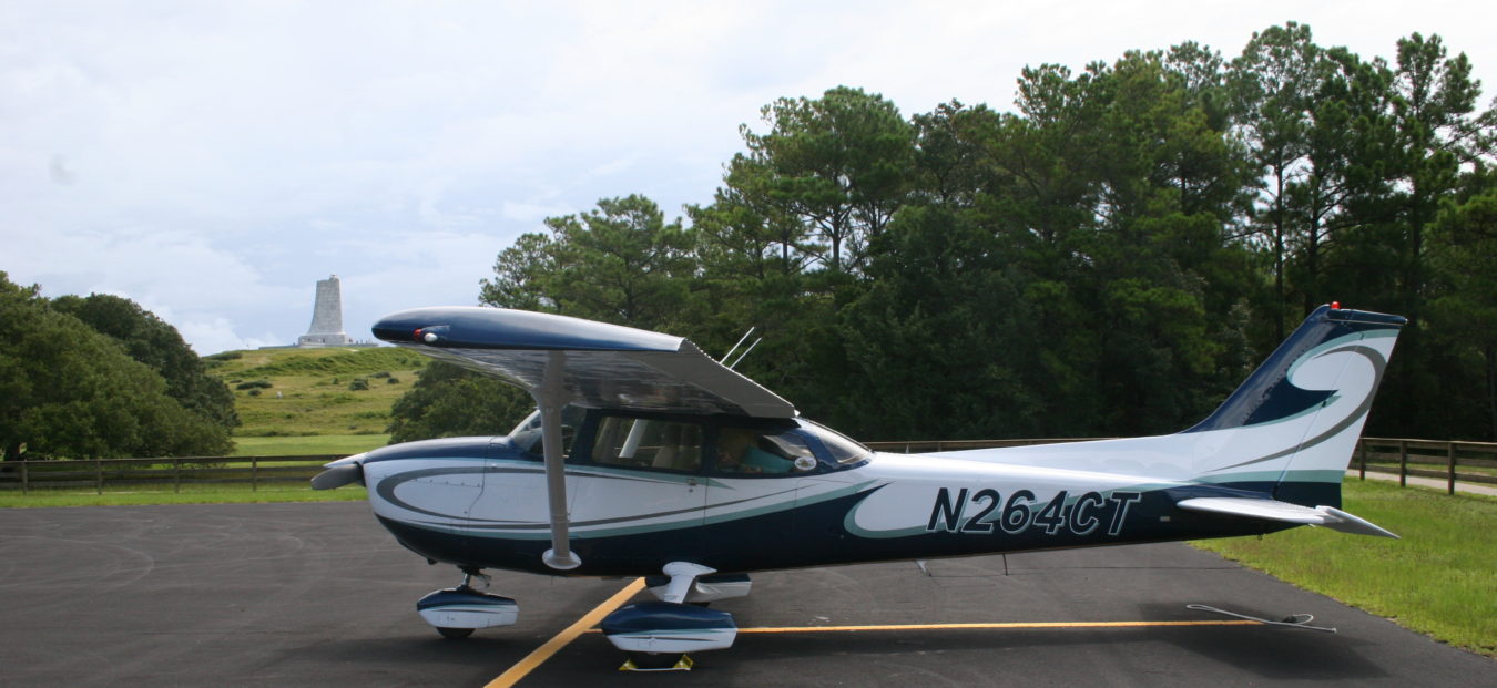
All the planning paid off to go to the Martinsville airport though. Pictures below. It’s such a beautiful area!!
When you encounter beautiful places, you carry them with you in your heart. It brings peace to your soul.

